|
©The Archaeological Settlements of Turkey - TAY Project
|
|
|
|
|
|
Yük Tepe / Salur |
|
|
For site maps and drawings please click on the picture...  |
For photographs please click on the photo... 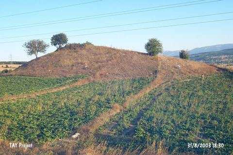 |
|
Type:
|
Mound |
|
Altitude:
|
880 m |
|
Region:
|
Black Sea |
|
Province:
|
Samsun |
|
District:
|
Ladik |
|
Village:
|
Salur |
|
Investigation Method:
|
Survey |
|
Period:
|
|
|
|
|
 |
|
| It lies on the plain it was named after; 12 km northwest of Ladik District; southwest of Samsun Province. It is located 600 m north of the Tersakan stream; immediately east of the Ladik-Istasyon Tepe road. The slopes of the hill are seriously destructed by leveling due to agriculture. The area is locally known as Taslipara Mevkii. It was discovered by K. Kökten; N. Özgüç and T. Özgüç who conducted surveys in the region in 1940-41. Sherds identical to EBA pottery of Alacahöyük and Dündartepe were collected. It was re-visited by a team under U.B. Alkim for surface collection. According to them; pottery of the third millennium BC was recovered. During M. Özsait's research in 2001; ceramics dating to 2nd and 3rd millennia; Iron Age and Byzantine Period were collected. |
| Location: |
| Geography and Environment: |
| History: |
| Research and Excavation: |
| Stratigraphy: |
| Small Finds: |
| Remains: |
| Interpretation and Dating: |