|
©The Archaeological Settlements of Turkey - TAY Project
|
|
|
|
|
|
Bakacak Tepe |
|
|
For site maps and drawings please click on the picture...  |
For photographs please click on the photo... 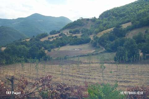 |
|
Type:
|
Mound |
|
Altitude:
|
425 m |
|
Region:
|
Black Sea |
|
Province:
|
Sinop |
|
District:
|
Gerze |
|
Village:
|
Mahmuttiri |
|
Investigation Method:
|
Survey |
|
Period:
|
|
|
|
|
 |
|
| It lies on the road running from Mahmuttiri Village to Sanriç Village on the western bank of the Sarimsak Stream; 10 km east of Gerze District of Sinop Province. It was discovered during the Sinop Survey conducted by M.A. Isin. It measures 10 m in height and 80 m in width. It has been severely damaged. Vast majority of the pottery collected belongs to the Hellenistic Period. Very limited number of EBA pottery was collected from the surface. It takes place in the registered archaeological sites list prepared by Ministry of Culture and Tourism. |
| Location: |
| Geography and Environment: |
| History: |
| Research and Excavation: |
| Stratigraphy: |
| Small Finds: |
| Remains: |
| Interpretation and Dating: |