|
©The Archaeological Settlements of Turkey - TAY Project
|
|
|
|
|
|
Yogurtçubaba |
|
|
For site maps and drawings please click on the picture...  |
For photographs please click on the photo... 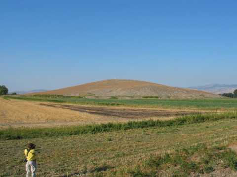 |
|
Type:
|
Mound |
|
Altitude:
|
525 m |
|
Region:
|
Black Sea |
|
Province:
|
Amasya |
|
District:
|
Suluova |
|
Village:
|
Eraslan |
|
Investigation Method:
|
Survey |
|
Period:
|
Early |
|
|
|
 |
|
| The site lies west-northwest of Amasya; 2 km south of Kulu village; right in the middle of the triangle of Eraslan; Kapanci; and Kulu villages. It is located on the southeastern slope of Yogurtçubaba hill. It is discovered by M. Özsait; in 1987. Besides the sherds hinting an EBA settlement; a few sherds with knobbed decoration on rim which probably date back to Chalcolithic Age are recovered. It is one of the sites; on which the existence of a Chalcolithic Age settlement is dubious. It takes place in the registered archaeological sites list prepared by Ministry of Culture and Tourism. |
| Location: |
| Geography and Environment: |
| History: |
| Research and Excavation: |
| Stratigraphy: |
| Small Finds: |
| Remains: |
| Interpretation and Dating: |