|
©The Archaeological Settlements of Turkey - TAY Project
|
|
|
|
|
|
Yillik |
|
|
For site maps and drawings please click on the picture...  |
For photographs please click on the photo... 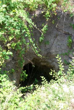 |
|
Type:
|
Mound |
|
Altitude:
|
672 m |
|
Region:
|
Marmara |
|
Province:
|
Bilecik |
|
District:
|
Merkez |
|
Village:
|
Cumali |
|
Investigation Method:
|
Excavation |
|
Period:
|
|
|
|
|
 |
|
| The mound lies north of Bilecik; 2 km southeast of Cumali village. It is in a rough terrain and Ören stream flows from the south. A salvage excavation has been conducted by Eskisehir Museum in 1986 on the mound. It is then surveyed by T. Efe in 1990. Efe reports a few sherds possibly dating to Chalcolithic Age; besides the EBA sherds collected from the surface. It takes place in the registered archaeological sites list prepared by Ministry of Culture and Tourism. |
| Location: |
| Geography and Environment: |
| History: |
| Research and Excavation: |
| Stratigraphy: |
| Small Finds: |
| Remains: |
| Interpretation and Dating: |