|
©The Archaeological Settlements of Turkey - TAY Project
|
|
|
|
|
|
Yeniköy |
|
|
For site maps and drawings please click on the picture...  |
For photographs please click on the photo... 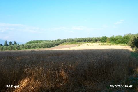 |
|
Type:
|
Mound |
|
Altitude:
|
110 m |
|
Region:
|
Marmara |
|
Province:
|
Bursa |
|
District:
|
Orhangazi |
|
Village:
|
Yeniköy |
|
Investigation Method:
|
Survey |
|
Period:
|
|
|
|
|
 |
|
| The mound lies northeast of Bursa; 750 m north of Iznik lake; 500 m south of the Iznik-Orhangazi highway. No water spring or any other fresh water supply exists around the mound with a height of 7 m and a diameter of 200 m. It is surveyed in 1948 by K. Kökten; in 1960 by J. Mellaart; in 1964 by Cullberg; and in 1965 by D.H. French. Kökten names this site as Tepetarla. Sherds in black burnished ware of Chalcolithic Age are found during the surveys mentioned above. It takes place in the registered archaeological sites list prepared by Ministry of Culture and Tourism. |
| Location: |
| Geography and Environment: |
| History: |
| Research and Excavation: |
| Stratigraphy: |
| Small Finds: |
| Remains: |
| Interpretation and Dating: |