|
©The Archaeological Settlements of Turkey - TAY Project
|
|
|
|
|
|
Yelten Höyük |
|
|
For site maps and drawings please click on the picture...  |
For photographs please click on the photo... 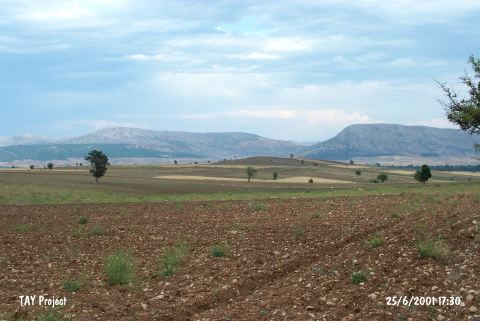 |
|
Type:
|
Mound |
|
Altitude:
|
910 m |
|
Region:
|
Mediterranean |
|
Province:
|
Antalya |
|
District:
|
Korkuteli |
|
Village:
|
Yelten |
|
Investigation Method:
|
Survey |
|
Period:
|
EBA II |
|
|
|
  |
|
| It lies in Sarihasan Yeri Mevkii; close to the western border of the plain; 4 km east of Yelten Village; north of Korkuteli District of Antalya Province. South of the mound old Bozova road passes. It was discovered by J. Mellaart. It has been considered as an EBA II-III settlement. It was displaced with Belten in the Mellaart's map. The dagger published by Przworksi; Haxwell-Hyslop and Stronach [Stronach 1957:100] is reported to originate from Yelten. |
| Location: |
| Geography and Environment: |
| History: |
| Research and Excavation: |
| Stratigraphy: |
| Small Finds: |
| Remains: |
| Interpretation and Dating: |

