|
©The Archaeological Settlements of Turkey - TAY Project
|
|
|
|
|
|
Yazitarla |
|
|
For site maps and drawings please click on the picture...  |
For photographs please click on the photo... 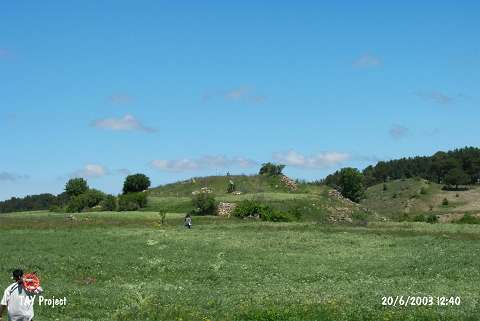 |
|
Type:
|
Mound |
|
Altitude:
|
1430 m |
|
Region:
|
Black Sea |
|
Province:
|
Ordu |
|
District:
|
Mesudiye |
|
Village:
|
Çavdar |
|
Investigation Method:
|
Survey |
|
Period:
|
|
|
|
|
 |
|
| It lies 2 km southwest of Çavdar Village of Mesudiye District; south of Ordu Province. It stands on a natural hill immediate north of a stream originating from the Melet Stream. It measures 150x100 m in dimensions. It was discovered during the 1991 Ordu-Mesudiye survey conducted by M. Özsait. Pottery collected from the surface belongs to the Chalcolithic Age; the EBA and the Phyrigian Period. |
| Location: |
| Geography and Environment: |
| History: |
| Research and Excavation: |
| Stratigraphy: |
| Small Finds: |
| Remains: |
| Interpretation and Dating: |