|
©The Archaeological Settlements of Turkey - TAY Project
|
|
|
|
|
|
Yassi Hüyük |
|
|
For site maps and drawings please click on the picture...  |
For photographs please click on the photo... 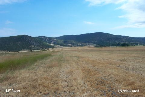 |
|
Type:
|
Mound |
|
Altitude:
|
585 m |
|
Region:
|
Marmara |
|
Province:
|
Bilecik |
|
District:
|
Gölpazari |
|
Village:
|
Kursunlu |
|
Investigation Method:
|
Survey |
|
Period:
|
EBA II EBA III |
|
|
|
 |
|
| It lies in the middle of a plain; 2 km northeast of Kursunlu Village; northeast of Bilecik Province. It was discovered by K. It is immediately north of the road of Kursunlu which is connected to Gölpazari-Vezirhan motorway. Kökten in 1948; and also investigated by T. Efe who conducted a survey in the region in 1990. It looks flat. It measures 1.70 m in height and 160 m in diameter. Materials belonging to the EBA II-III and probably dating from the LBA were uncovered. It was also visited by C. A. Burney and D. H. French [Efe 1992:567]. |
| Location: |
| Geography and Environment: |
| History: |
| Research and Excavation: |
| Stratigraphy: |
| Small Finds: |
| Remains: |
| Interpretation and Dating: |