|
©The Archaeological Settlements of Turkey - TAY Project
|
|
|
|
|
|
Yarikkaya |
|
|
For site maps and drawings please click on the picture...  |
For photographs please click on the photo... 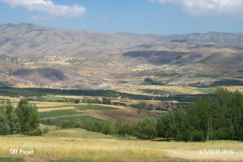 |
|
Type:
|
Mound |
|
Altitude:
|
1300 m |
|
Region:
|
Mediterranean |
|
Province:
|
Isparta |
|
District:
|
Yalvaç |
|
Village:
|
Yarikkaya |
|
Investigation Method:
|
Survey |
|
Period:
|
Early |
|
|
|
 |
|
| The mound lies northeast of Isparta; 21 km northwest of Yalvaç; 500 m north of Yarikkaya village. It is discovered by M. Özsait who has named the mound after the closest village. The mound is located on a hill in the middle of a plain that is not effected by north and east winds. It is 10 m high and measures 150x100 m. The collected sherds date to Early Chalcolithic Age; EBA 1; and EBA 2. It takes place in the registered archaeological sites list prepared by Ministry of Culture and Tourism. |
| Location: |
| Geography and Environment: |
| History: |
| Research and Excavation: |
| Stratigraphy: |
| Small Finds: |
| Remains: |
| Interpretation and Dating: |