|
©The Archaeological Settlements of Turkey - TAY Project
|
|
|
|
|
|
Yaprakli Mevkii |
|
|
For site maps and drawings please click on the picture...  |
For photographs please click on the photo... 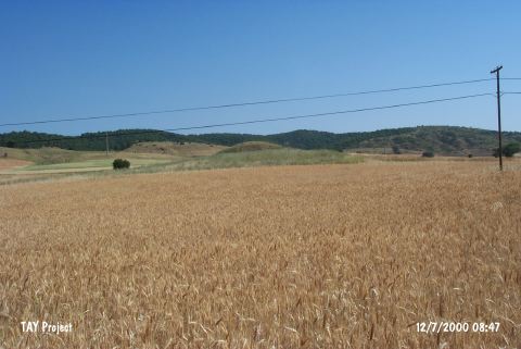 |
|
Type:
|
Flat Settlement |
|
Altitude:
|
830 m |
|
Region:
|
Marmara |
|
Province:
|
Bilecik |
|
District:
|
Bozüyük |
|
Village:
|
|
|
Investigation Method:
|
Survey |
|
Period:
|
Late |
|
|
|
 |
|
| The site lies southeast of Bilecik; 11 km east of Bozüyük; close to and north of the road from Bozüyük to Eskisehir. In the 1990 survey conducted by T. Efe; few sherds are collected from the surface of this natural hill. The cut-stone blocks found in the pit dug illicitly in the middle of the hill have brought up the possibility that the hill was a tumulus. The Chalcolithic Age and Classical Period sherds recovered from the surface may have been secondary finds in the possibly transported soil for covering the tumulus. It is therefore a question if the site is a Chalcolithic Age settlement or not. |
| Location: |
| Geography and Environment: |
| History: |
| Research and Excavation: |
| Stratigraphy: |
| Small Finds: |
| Remains: |
| Interpretation and Dating: |