|
©The Archaeological Settlements of Turkey - TAY Project
|
|
|
|
|
|
Yakatarla / Maltepe |
|
|
For site maps and drawings please click on the picture...  |
For photographs please click on the photo... 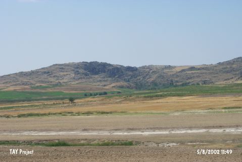 |
|
Type:
|
Mound |
|
Altitude:
|
1010 m |
|
Region:
|
Central Anatolia |
|
Province:
|
Nevsehir |
|
District:
|
Gülsehir |
|
Village:
|
Yakatarla |
|
Investigation Method:
|
Survey |
|
Period:
|
|
|
|
|
 |
|
| It is located at Gireyme Mevkii; border of Yalintas Village; at the southern entrance of Yakatarla Village; southwest of Gülsehir District; northwest of Nevsehir Province. The Alacorak Stream passes west of the site. It stands on a natural rock and has a height of 10 m. The thickness of the cultural deposit is 10 m. The diameter of floor is 100 m. It has a cone; 15x20 m in dimensions on the top hill. A surface collection was carried out by S.Y. Senyurt in 1997 in the pits opened by the treasure hunters on the mound and the surrounding terraces. Presence of the EBA; MBA-LBA and Iron Age pottery is reported. It takes place in the registered archaeological sites list prepared by Ministry of Culture and Tourism. |
| Location: |
| Geography and Environment: |
| History: |
| Research and Excavation: |
| Stratigraphy: |
| Small Finds: |
| Remains: |
| Interpretation and Dating: |