|
©The Archaeological Settlements of Turkey - TAY Project
|
|
|
|
|
|
Yakalar |
|
|
For site maps and drawings please click on the picture...  |
For photographs please click on the photo... 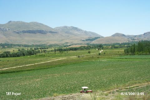 |
|
Type:
|
Mound |
|
Altitude:
|
1200 m |
|
Region:
|
Mediterranean |
|
Province:
|
Burdur |
|
District:
|
Kemer |
|
Village:
|
Yakalar |
|
Investigation Method:
|
Survey |
|
Period:
|
Early |
|
|
|
 |
|
| The mound is located southwest of Burdur; 1.5 km northwest of Yakalar village. It lies in the middle of the fertile plain between Bozçay; Yürüktepe; and Esenli Tepe. The 14 m high mound with a diameter of 200x300 m is named by M. Özsait who has surveyed it in 1983. It is claimed that there is a Chalcolithic Age settlement on the mound depending on the red coated; burnished sherds in Hacilar tradition. Besides; abundant EBA sherds hint a settlement from this horizon; too. It takes place in the registered archaeological sites list prepared by Ministry of Culture and Tourism. |
| Location: |
| Geography and Environment: |
| History: |
| Research and Excavation: |
| Stratigraphy: |
| Small Finds: |
| Remains: |
| Interpretation and Dating: |