|
©The Archaeological Settlements of Turkey - TAY Project
|
|
|
|
|
|
Yaginözü Köyü |
|
|
For site maps and drawings please click on the picture...  |
For photographs please click on the photo... 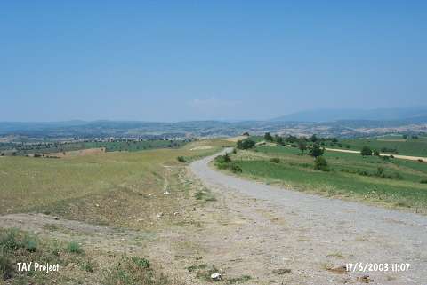 |
|
Type:
|
Mound |
|
Altitude:
|
410 m |
|
Region:
|
Black Sea |
|
Province:
|
Samsun |
|
District:
|
Vezirköprü |
|
Village:
|
Yaginözü |
|
Investigation Method:
|
Survey |
|
Period:
|
|
|
|
|
 |
|
| It lies on a ridge along the motorway; 1.3 km west of Yaginözü Village; north of Vezirköprü District of Samsun Province. It is 2 km away from Vezirköprü-Boyabat road. |
| Location: |
| Geography and Environment: |
| History: |
| Research and Excavation: |
| Stratigraphy: |
| Small Finds: |
| Remains: |
| Interpretation and Dating: |