|
©The Archaeological Settlements of Turkey - TAY Project
|
|
|
|
|
|
Velican |
|
|
For site maps and drawings please click on the picture... 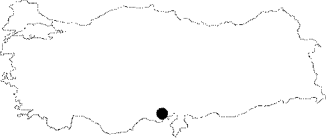 |
For photographs please click on the photo... 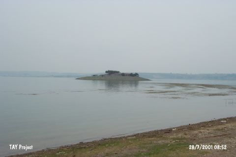 |
|
Type:
|
Mound |
|
Altitude:
|
110 m |
|
Region:
|
Mediterranean |
|
Province:
|
Adana |
|
District:
|
Seyhan |
|
Village:
|
Karsli |
|
Investigation Method:
|
Survey |
|
Period:
|
Early Middle |
|
|
|
 |
|
| The mound lies in Velican Quarter of Kasli Village; 12 km north of Adana; on the west bank of Seyhan River. It is located very close to the Seyhan Dam. The small mound with a height of 15-17 m is discovered during the Cilicia Survey conducted by M. V. Seton-Williams. Halaf and Coba ware sherds corresponding to the 7th; and 8/9th phases of ASPRO are collected from the surface. It has been settled probably in Neolithic [Harmankaya et al. 1997:Velican]; and doubtlessly from Chalcolithic Age to Medieval Period. |
| Location: This site lies in Velican Quarter of Karsli Village; 12 km south of the city of Adana. |
| Geography and Environment: The site was lying on the western shore of the Seyhan River; at the beginning of the narrow valley created by this river before the construction of the dam. It is nearby the dam reservoir today. With the 10 m thick rock outcrop it lies on; the total height of the mound is 15-17 m. Although claimed to be the earliest settlement in the Province of Adana doubts remain. |
| History: |
| Research and Excavation: |
| Stratigraphy: |
| Small Finds: |
| Remains: |
| Interpretation and Dating: |