|
©The Archaeological Settlements of Turkey - TAY Project
|
|
|
|
|
|
Bag Tepe |
|
|
For site maps and drawings please click on the picture...  |
For photographs please click on the photo... 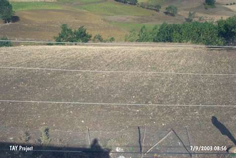 |
|
Type:
|
Mound |
|
Altitude:
|
230 m |
|
Region:
|
Black Sea |
|
Province:
|
Samsun |
|
District:
|
Merkez |
|
Village:
|
Uzgur |
|
Investigation Method:
|
Survey |
|
Period:
|
|
|
|
|
 |
|
| It lies 500 m south of Dedetepe; south of the Kürtün Stream; about 900 m northeast of Uzgur (Küplüce) Village; 6 km west of Samsun Province as the crow flies. In accordance with the distribution of pottery; it is a small mound. It measures 6 m in height and 125 m in diameter. It was documented in 1973 by a team under U.B. Alkim. Sherds dating from the third millennium BC were collected from the surface. It is also known as Kale Tepe. |
| Location: |
| Geography and Environment: |
| History: |
| Research and Excavation: |
| Stratigraphy: |
| Small Finds: |
| Remains: |
| Interpretation and Dating: |