|
©The Archaeological Settlements of Turkey - TAY Project
|
|
|
|
|
|
Degirmen Tepe |
|
|
For site maps and drawings please click on the picture...  |
For photographs please click on the photo... 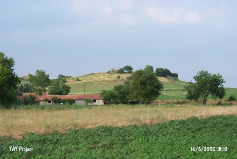 |
|
Type:
|
Flat Settlement |
|
Altitude:
|
140 m |
|
Region:
|
Marmara |
|
Province:
|
Edirne |
|
District:
|
Enez |
|
Village:
|
Umurbey |
|
Investigation Method:
|
Survey |
|
Period:
|
EBA I EBA II |
|
|
|
 |
|
| It lies 2 km north of Büyük Evren Village; southeast of Enez District; south-southwest of Edirne Province. It stands on a hill located immediate east of Umurca-Umurbey Village. There are ridges to the north of the site and it overlooks the plain. The village road passes from the northwest and village houses lie to the west and northwest. At a central location is an oak tree and woods along the southeastern slope. Degirmentepe houses a water tank to meet the water requirements of the village. Among the limited number of sherds collected; presence of pottery datable to the Chalcolithic Age and the EBA was reported by S. Basaran. Only a restricted number of sherds were collected due to the growing crop. Largely; sherds of the third millennium BC were recovered. Sherds dating from the EBA I and II in gray-brown paste; matte burnished or unburnished ware were collected from the northern section of the mound. Plates and deep and flat bowls with inverted or slightly inverted S-profiles were recovered. |
| Location: |
| Geography and Environment: |
| History: |
| Research and Excavation: |
| Stratigraphy: |
| Small Finds: |
| Remains: |
| Interpretation and Dating: |