|
©The Archaeological Settlements of Turkey - TAY Project
|
|
|
|
|
|
Uluova |
|
|
For site maps and drawings please click on the picture...  |
For photographs please click on the photo... 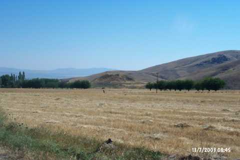 |
|
Type:
|
Mound |
|
Altitude:
|
1020 m |
|
Region:
|
Eastern Anatolia |
|
Province:
|
Elazig |
|
District:
|
Sivrice |
|
Village:
|
Dedeyolu |
|
Investigation Method:
|
Survey |
|
Period:
|
|
|
|
|
 |
|
| The mound lies 2.7 km north of Dedeyolu (Yukarıhuh) Village of Sivrice District; south of Elazig. Sivrice-Baskil railroad passes 200 m southwest of the mound. West of the mound is Dedepinari Village; north is Kavaktepe Village. It measures 30 m in height and 50 m in diameter. It was discovered by C.A. Burney. Sherds of the Karaz ware with interior and exterior surfaces in black; the relief decorated ware and the red-brown burnished ware dating from the EBA were collected from the surface. |
| Location: |
| Geography and Environment: |
| History: |
| Research and Excavation: |
| Stratigraphy: |
| Small Finds: |
| Remains: |
| Interpretation and Dating: |