|
©The Archaeological Settlements of Turkey - TAY Project
|
|
|
|
|
|
Uluova |
|
|
For site maps and drawings please click on the picture...  |
For photographs please click on the photo... 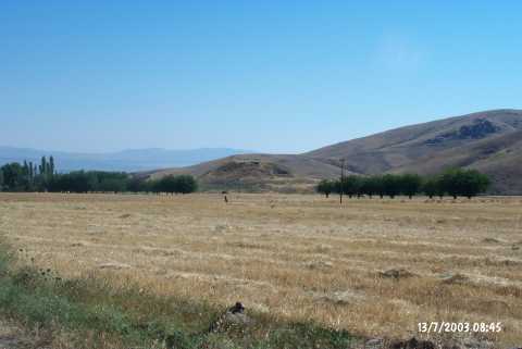 |
|
Type:
|
Mound |
|
Altitude:
|
1020 m |
|
Region:
|
Eastern Anatolia |
|
Province:
|
Elazig |
|
District:
|
Sivrice |
|
Village:
|
Dedeyolu |
|
Investigation Method:
|
Survey |
|
Period:
|
Late |
|
|
|
 |
|
| The mound lies 2.7 km north of Dedeyolu (Yukarihuh) Village of Sivrice District; south of Elazig. Sivrice-Baskil railroad passes 200 m southwest of the mound. West of the mound is Dedepinari Village; north is Kavaktepe Village. The 30 m high; medium mound with a diameter of 50 m lies on the southeastern section of Altinova. It is first discovered by C.A. Burney and presented as mainly an EBA settlement. H.F. Russell; who later on has analyzed the sherds collected by Burney; has distinguished dark faced burnished ware and wheel-made chaff-faced ware sherds. The dark faced burnished ware sherds date probably to Late Chalcolithic Age. |
| Location: |
| Geography and Environment: |
| History: |
| Research and Excavation: |
| Stratigraphy: |
| Small Finds: |
| Remains: |
| Interpretation and Dating: |