|
©The Archaeological Settlements of Turkey - TAY Project
|
|
|
|
|
|
Tuzla Höyük |
|
|
For site maps and drawings please click on the picture...  |
For photographs please click on the photo... 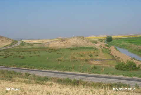 |
|
Type:
|
Mound |
|
Altitude:
|
580 m |
|
Region:
|
Central Anatolia |
|
Province:
|
Çorum |
|
District:
|
Ugurludag |
|
Village:
|
Eskiçeltek |
|
Investigation Method:
|
Survey |
|
Period:
|
|
|
|
|
 |
|
| It lies 4 km west of Eskiçeltek Village of Ugurludag District; west of Çorum Province. It leans over a natural hill. It houses a small settlement on the southeastern bank of the Kizilirmak River. It has been partly damaged during the construction of the village road. Sections reveal traces of mud-brick walls. It was discovered during the Survey of Çorum conducted under T. Sipahi and T. Yildirim in 1996. Only sherds dating from the EBA were collected from the surface. |
| Location: |
| Geography and Environment: |
| History: |
| Research and Excavation: |
| Stratigraphy: |
| Small Finds: |
| Remains: |
| Interpretation and Dating: |