|
©The Archaeological Settlements of Turkey - TAY Project
|
|
|
|
|
|
Topakli |
|
|
For site maps and drawings please click on the picture...  |
For photographs please click on the photo... 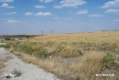 |
|
Type:
|
Mound |
|
Altitude:
|
1205 m |
|
Region:
|
Central Anatolia |
|
Province:
|
Nevsehir |
|
District:
|
Avanos |
|
Village:
|
Topakli |
|
Investigation Method:
|
Excavation |
|
Period:
|
|
|
|
|
 |
|
| It is located next to Topakli Village on the Kirsehir-Kayseri highway; north of Avanos District and Nevsehir Province. It is one of the most significant mounds of Central Anatolia. It measures 30 m in height and 260 m in diameter. As it is located on the main trade road running from Kayseri to the west; it was excavated by an Italian excavation team first under P. Meriggi; and then L. Polacco from 1966 to 1976. The stepped trench yielded 24 levels from EBA to Byzantine Period. Levels XXIV-XIX are dated to the end of EBA - beginning of MBA based on the sherds of the painted ware of Alisar III (?) production. It takes place in the registered archaeological sites list prepared by Ministry of Culture and Tourism. |
| Location: |
| Geography and Environment: |
| History: |
| Research and Excavation: |
| Stratigraphy: |
| Small Finds: |
| Remains: |
| Interpretation and Dating: |