|
©The Archaeological Settlements of Turkey - TAY Project
|
|
|
|
|
|
Azay Tepe |
|
|
For site maps and drawings please click on the picture...  |
For photographs please click on the photo... 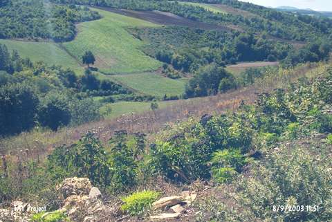 |
|
Type:
|
Mound |
|
Altitude:
|
150 m |
|
Region:
|
Black Sea |
|
Province:
|
Samsun |
|
District:
|
Bafra |
|
Village:
|
Azay |
|
Investigation Method:
|
Survey |
|
Period:
|
|
|
|
|
 |
|
| It lies to the east-northeast of the village of Azay; 12 km southwest of the district of Bafra in the province of Samsun Soguksu Stream flows from the south. It is a fairly high mound. It takes place in the registered archaeological sites list prepared by Ministry of Culture and Tourism. The mound appears in the Samsun Culture Inventory which was achieved after the surveys organized by the Samsun Special Provincial Administration Directorship of Development and Construction in 2009. It measures 110 m in the east-west direction and 150 m in the north-south direction. Its height is 15 m. Based on the potsherds recovered from the surface; the mound is dated to EBA, MBA and Roman and Late Roman periods. |
| Location: |
| Geography and Environment: |
| History: |
| Research and Excavation: |
| Stratigraphy: |
| Small Finds: |
| Remains: |
| Interpretation and Dating: |