|
©The Archaeological Settlements of Turkey - TAY Project
|
|
|
|
|
|
Tepetarla |
|
|
For site maps and drawings please click on the picture...  |
For photographs please click on the photo... 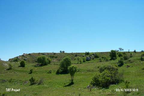 |
|
Type:
|
Mound |
|
Altitude:
|
1480 m |
|
Region:
|
Black Sea |
|
Province:
|
Ordu |
|
District:
|
Mesudiye |
|
Village:
|
Çardakli |
|
Investigation Method:
|
Survey |
|
Period:
|
|
|
|
|
 |
|
| The mound lies southwest of Ordu and of Mesudiye district; 1 km west of Çardakli village; 500 m southwest of Demircili quarter; in Degirmenardi Mevkii. It is 15 m higher than the plain level and measures 200x150 m. Karapinar stream that runs north and east of the mound has destructed it partially. M. Özsait who has discovered the mound in 1991; reports that it has been settled widely in EBA 1 after a single-phase Chalcolithic Age settlement. A few Iron Age sherds are; as well; recovered from the surface. |
| Location: |
| Geography and Environment: |
| History: |
| Research and Excavation: |
| Stratigraphy: |
| Small Finds: |
| Remains: |
| Interpretation and Dating: |