|
©The Archaeological Settlements of Turkey - TAY Project
|
|
|
|
|
|
Tepedibi |
|
|
For site maps and drawings please click on the picture...  |
For photographs please click on the photo... 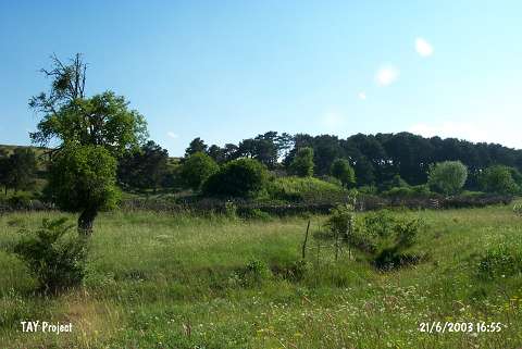 |
|
Type:
|
Upland Settlement |
|
Altitude:
|
1390 m |
|
Region:
|
Black Sea |
|
Province:
|
Ordu |
|
District:
|
Mesudiye |
|
Village:
|
Güzle |
|
Investigation Method:
|
Survey |
|
Period:
|
|
|
|
|
 |
|
| The site lies southwest of Ordu; northwest of Mesudiye; in Tepedibi Mevkii of Kenger quarter in Güzle village. Duzle-Kenger road passes from the north of the site. It is discovered in 1990 by M. Özsait who reports that it resembles a tumulus. It is probable that a tumulus has been made on the mound holding a prehistoric settlement. The surface sherds date to probably Chalcolithic Age; EBA 1; and IA. |
| Location: |
| Geography and Environment: |
| History: |
| Research and Excavation: |
| Stratigraphy: |
| Small Finds: |
| Remains: |
| Interpretation and Dating: |