|
©The Archaeological Settlements of Turkey - TAY Project
|
|
|
|
|
|
Tepecik |
|
|
For site maps and drawings please click on the picture...  |
For photographs please click on the photo... 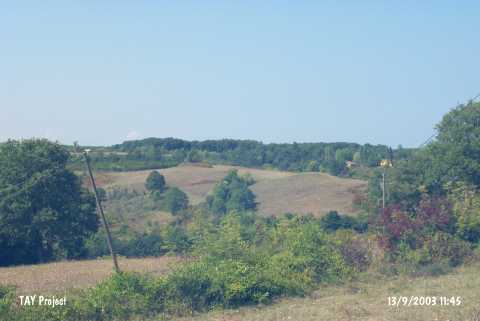 |
|
Type:
|
Mound |
|
Altitude:
|
60 m |
|
Region:
|
Black Sea |
|
Province:
|
Sinop |
|
District:
|
Ayancik |
|
Village:
|
Tarakçi |
|
Investigation Method:
|
Survey |
|
Period:
|
|
|
|
|
 |
|
| It lies on a slope overlooking the Black Sea; south of Tarakçi Village on the Sinop-Ayancik motorway; east of Ayancik District; west-southwest of Sinop Province. It is 500 m far from the sea and the stream passing nearby. It was discovered during a survey conducted by M.A. Isin between 1988 and 1990. It consists of two hills. The western hill is higher (4-5 m). It is 130 m long. It has been severely damaged due to heavy cultivation and illicit digging. Sherds of the handmade ware with a grit and straw tempered paste and the red and brown washed; burnished ware were recovered. Plaster fragments with timber traces on its surface expose the presence of wattle and daub houses. It takes place in the registered archaeological sites list prepared by Ministry of Culture and Tourism. |
| Location: |
| Geography and Environment: |
| History: |
| Research and Excavation: |
| Stratigraphy: |
| Small Finds: |
| Remains: |
| Interpretation and Dating: |