|
©The Archaeological Settlements of Turkey - TAY Project
|
|
|
|
|
|
S 62/4 Telliban / Bozuk Köy |
|
|
For site maps and drawings please click on the picture...  |
For photographs please click on the photo... 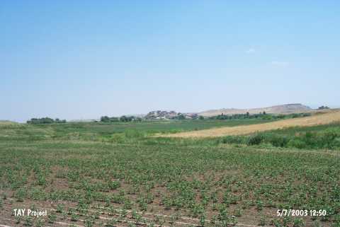 |
|
Type:
|
Mound |
|
Altitude:
|
710 m |
|
Region:
|
Southeastern Anatolia |
|
Province:
|
Siirt |
|
District:
|
Kurtalan |
|
Village:
|
Bozhöyük |
|
Investigation Method:
|
Survey |
|
Period:
|
|
|
|
|
 |
|
| The mound is located in the province of Siirt; district of Kurtalan; Bozhöyük village. It is a low mound. It is situated on the southern part of the Kurtalan-Batman highway. It measures 15 m in height and 150 m in diameter. Except the northern slope; it has been surrounded by a modern settlement. To the south and west; there are streams. It was discovered in 1963 during the Prehistoric Survey of Southeastern Anatolia. Sherds evaluated probably as EBA production were collected from the surface. It is coded under S 62 / 4. |
| Location: |
| Geography and Environment: |
| History: |
| Research and Excavation: |
| Stratigraphy: |
| Small Finds: |
| Remains: |
| Interpretation and Dating: |