|
©The Archaeological Settlements of Turkey - TAY Project
|
|
|
|
|
|
S 62/4 Telliban / Bozuk Köy |
|
|
For site maps and drawings please click on the picture...  |
For photographs please click on the photo... 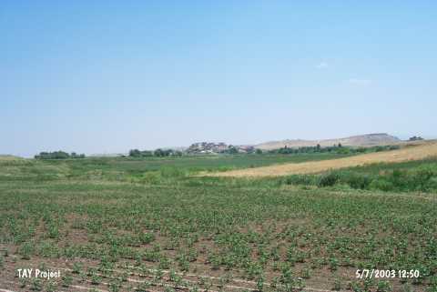 |
|
Type:
|
Mound |
|
Altitude:
|
710 m |
|
Region:
|
Southeastern Anatolia |
|
Province:
|
Siirt |
|
District:
|
Kurtalan |
|
Village:
|
Bozhöyük |
|
Investigation Method:
|
Survey |
|
Period:
|
|
|
|
|
 |
|
| The mound is located in the province of Siirt; district of Kurtalan; Bozhöyük village. Kuruka stream runs south of the mound that is 700 m far from the bed of Garzan stream. It has a height of 15 m and a diameter of 150 m. Except for the northern section; it is occupied by the modern village. Kurtalan-Batman road passes from the south-southeast. The mound is surrounded by fertile fields. Its northern slope is rather steep and there is a water channel in the same direction. It is discovered during the 1963 Southeastern Anatolia Survey. Sherds that date with uncertainty to Uruk Period are collected from the surface. The location code is S 62 / 4. |
| Location: |
| Geography and Environment: |
| History: |
| Research and Excavation: |
| Stratigraphy: |
| Small Finds: |
| Remains: |
| Interpretation and Dating: |