|
©The Archaeological Settlements of Turkey - TAY Project
|
|
|
|
|
|
Davutpasa |
|
|
For site maps and drawings please click on the picture... 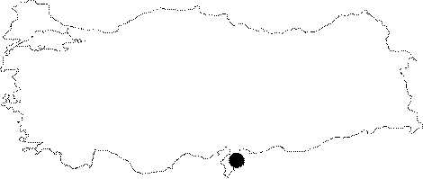 |
For photographs please click on the photo... 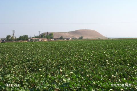 |
|
Type:
|
Mound |
|
Altitude:
|
220 m |
|
Region:
|
Mediterranean |
|
Province:
|
Hatay |
|
District:
|
Reyhanli |
|
Village:
|
Davutpasahöyügü |
|
Investigation Method:
|
Survey |
|
Period:
|
Ceramic |
|
|
|
 |
|
| Location: It lies close to the village which it was named after; 6 km northeast of Reyhanli District of Hatay Province. |
| Geography and Environment: It lies 500 m east of Afrin Stream which is one of the creeks watering Amuq Plain. The mound is rather big and terraced. |
| History: |
| Research and Excavation: The site was discovered during the 1936 surface survey conducted on the Hatay Amuq Plain by R.L. Braidwood. Not much information has been provided on this mound. |
| Stratigraphy: The survey; although not systematic; recovered sherds representative of continuous habitation from the Neolithic to the Middle Ages. |
| Small Finds: Pottery: The mound yielded Amuq A and B Dark Burnished Ware. For more information on this type of ceramics; see Tell el Cüdeyde/Judaidah in this volume. |
| Remains: |
| Interpretation and Dating: This site is another Amuq Plain site which yielded Neolithic material. The site has been placed into phases 5/6 in ASPRO and is thus dated to 8;000-7;000 BP. |