|
©The Archaeological Settlements of Turkey - TAY Project
|
|
|
|
|
|
Tekirköy |
|
|
For site maps and drawings please click on the picture...  |
For photographs please click on the photo... 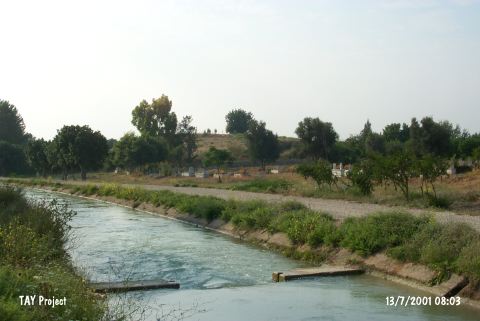 |
|
Type:
|
Mound |
|
Altitude:
|
140 m |
|
Region:
|
Mediterranean |
|
Province:
|
Mersin |
|
District:
|
Silifke |
|
Village:
|
Atayurt |
|
Investigation Method:
|
Survey |
|
Period:
|
|
|
|
|
 |
|
| The mound lies southwest of Mersin; east of Silifke; 1 km west of the village officially known as Atayurt (Olukbasi)Ñbearing as well the names of Tekirköy; Esenbey; and Tekirkoyuncu. The mound; cited as Hudude Höyügü in some of the published material; lies in Göksu valley; south of the Silifke-Mersin mainroad. Northwest of the mond is cemetery of the village. It is surveyed by Mellaart and French. |
| Location: |
| Geography and Environment: |
| History: |
| Research and Excavation: |
| Stratigraphy: |
| Small Finds: |
| Remains: |
| Interpretation and Dating: |