|
©The Archaeological Settlements of Turkey - TAY Project
|
|
|
|
|
|
Tekirköy |
|
|
For site maps and drawings please click on the picture...  |
For photographs please click on the photo... 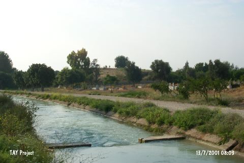 |
|
Type:
|
Mound |
|
Altitude:
|
140 m |
|
Region:
|
Mediterranean |
|
Province:
|
Mersin |
|
District:
|
Silifke |
|
Village:
|
Atayurt |
|
Investigation Method:
|
Survey |
|
Period:
|
Late |
|
|
|
 |
|
| The mound lies southwest of Mersin; east of Silifke; 1 km west of the village officially known as Atayurt (Olukbasi) Ñbearing as well the names of Tekirköy; Esenbey; and Tekirkoyuncu. The mound; cited as Hudude Höyügü in some of the published material; lies in Göksu valley; south of the Silifke-Mersin main road. Northwest of the mound is cemetery of the village. It is surveyed by Mellaart and French. The northern portion of the mound is destructed by the construction of a channel and illicit digging is observed all over the surface. Sherds in Late Chalcolithic Age tradition of Cilicia are recovered from the surface [French 1965:fig.10/10-24]. It is considered to display relations with Can Hasan I and Yumuktepe XV-XII settlements. |
| Location: |
| Geography and Environment: |
| History: |
| Research and Excavation: |
| Stratigraphy: |
| Small Finds: |
| Remains: |
| Interpretation and Dating: |