|
©The Archaeological Settlements of Turkey - TAY Project
|
|
|
|
|
|
Tatarmuhat |
|
|
For site maps and drawings please click on the picture...  |
For photographs please click on the photo... 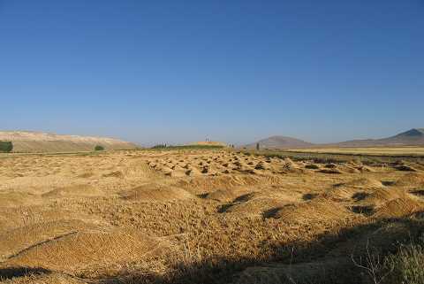 |
|
Type:
|
Mound |
|
Altitude:
|
1015 m |
|
Region:
|
Aegean |
|
Province:
|
Kütahya |
|
District:
|
Altintas |
|
Village:
|
Erenköy |
|
Investigation Method:
|
Survey |
|
Period:
|
EBA I EBA II EBA III |
|
|
|
 |
|
| It lies on the lowland 800 m southwest of Erenköy (Tatarmuhat) Village; east of Altintas District; south of Kütahya Province. It was discovered by T. Efe during a survey conducted in the region in 1991. It measures 4 m in height and 65 m in diameter. Materials of the EBA I-II and III were collected from the surface. It takes place in the registered archaeological sites list prepared by Ministry of Culture and Tourism. |
| Location: |
| Geography and Environment: |
| History: |
| Research and Excavation: |
| Stratigraphy: |
| Small Finds: |
| Remains: |
| Interpretation and Dating: |