|
©The Archaeological Settlements of Turkey - TAY Project
|
|
|
|
|
|
Taslitarla |
|
|
For site maps and drawings please click on the picture...  |
For photographs please click on the photo... 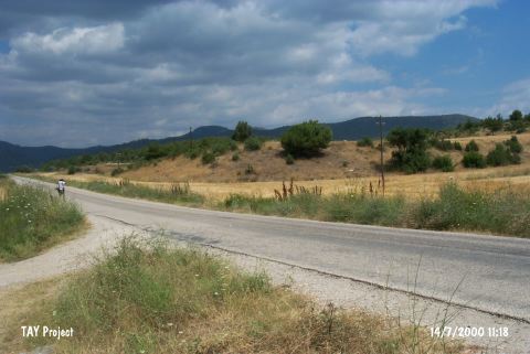 |
|
Type:
|
Cemetery |
|
Altitude:
|
210 m |
|
Region:
|
Marmara |
|
Province:
|
Bilecik |
|
District:
|
Osmaneli |
|
Village:
|
Büyük Yenice |
|
Investigation Method:
|
Survey |
|
Period:
|
|
|
|
|
 |
|
| It is located on a lowland called Taslitarla between the Sakarya River and Büyük Yenice (Yenicekebir) Village; 3 km east of Osmaneli District as the crow flies. Its surface is covered with the pebbles carried by Sakarya River. It was discovered in 1990 by T. Efe who conducted a survey in the region. An EBA cemetery was uncovered on the large lowland as well as sherds. A mace was recovered from the cobbled surface. |
| Location: |
| Geography and Environment: |
| History: |
| Research and Excavation: |
| Stratigraphy: |
| Small Finds: |
| Remains: |
| Interpretation and Dating: |