|
©The Archaeological Settlements of Turkey - TAY Project
|
|
|
|
|
|
Tadim |
|
|
For site maps and drawings please click on the picture...  |
For photographs please click on the photo... 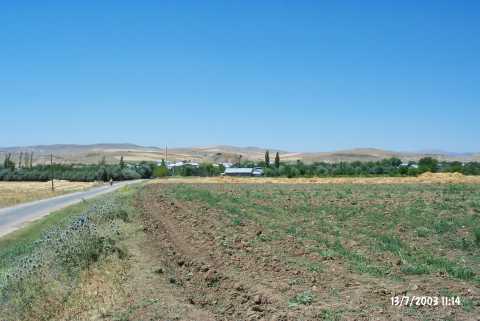 |
|
Type:
|
Mound |
|
Altitude:
|
1050 m |
|
Region:
|
Eastern Anatolia |
|
Province:
|
Elazig |
|
District:
|
Merkez |
|
Village:
|
Tadim |
|
Investigation Method:
|
Survey |
|
Period:
|
|
|
|
|
 |
|
| It overlooks Tadim Village; 8 km southwest of Altinçevre Village; 12 km south-southwest of Elazig Province. A branch of the Herinket Stream passes nearby and Tadim Dam is east of the mound. It lies on the southwestern extension of the Altinova Plain. It is a round mound. It measures 15 m in height and 75 m in diameter. The surface collection carried out by C.A. Burney yielded Karaz ware dated to the EBA which have different interior and exterior surface colors. It is suggested to be the Dadima city of the Classical Age. It takes place in the registered archaeological sites list prepared by Ministry of Culture and Tourism. |
| Location: |
| Geography and Environment: |
| History: |
| Research and Excavation: |
| Stratigraphy: |
| Small Finds: |
| Remains: |
| Interpretation and Dating: |