|
©The Archaeological Settlements of Turkey - TAY Project
|
|
|
|
|
|
Ayakli |
|
|
For site maps and drawings please click on the picture...  |
For photographs please click on the photo... 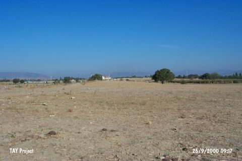 |
|
Type:
|
Mound |
|
Altitude:
|
50 m |
|
Region:
|
Aegean |
|
Province:
|
Aydin |
|
District:
|
Çine |
|
Village:
|
Kahraman |
|
Investigation Method:
|
Survey |
|
Period:
|
|
|
|
|
 |
|
| It lies 300 m southeast of the Ayakli Cemetery south of Kahraman Village; 3 km southwest of Çine; south of Aydin Province. The area is also known as Ormaniçi Mevkii. The local name of the mound is Belen. This flat mound measures 210x80 m. The survey conducted by E. Akdeniz in 1995 yielded pottery datable to the EBA. It takes place in the registered archaeological sites list prepared by Ministry of Culture and Tourism. |
| Location: |
| Geography and Environment: |
| History: |
| Research and Excavation: |
| Stratigraphy: |
| Small Finds: |
| Remains: |
| Interpretation and Dating: |