|
©The Archaeological Settlements of Turkey - TAY Project
|
|
|
|
|
|
Avaratepe |
|
|
For site maps and drawings please click on the picture...  |
For photographs please click on the photo... 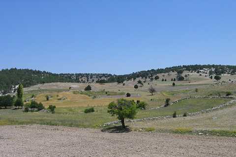 |
|
Type:
|
Flat Settlement |
|
Altitude:
|
990 m |
|
Region:
|
Aegean |
|
Province:
|
Kütahya |
|
District:
|
Emet |
|
Village:
|
Örencik |
|
Investigation Method:
|
Survey |
|
Period:
|
EBA II |
|
|
|
 |
|
| It lies about 700 m south of the Örencik-Tavsanli motorway; 7 km northeast of Örencik Town of Emet District; southeast of Kütahya Province. It was discovered during the survey of T. Efe in 1992. It stands on the terraces of a natural rock. It covers an area of 100 m. There lies a small stream to the west; joining the Kocasu. Only material of the EBA II was collected from the surface. It takes place in the registered archaeological sites list prepared by Ministry of Culture and Tourism. |
| Location: |
| Geography and Environment: |
| History: |
| Research and Excavation: |
| Stratigraphy: |
| Small Finds: |
| Remains: |
| Interpretation and Dating: |