|
©The Archaeological Settlements of Turkey - TAY Project
|
|
|
|
|
|
Atyolu |
|
|
For site maps and drawings please click on the picture...  |
For photographs please click on the photo... 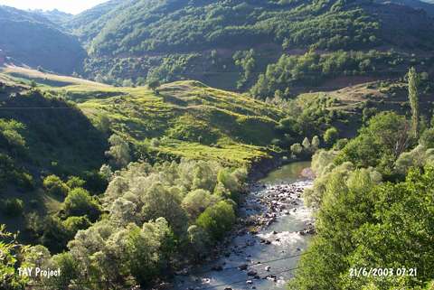 |
|
Type:
|
Mound |
|
Altitude:
|
910 m |
|
Region:
|
Black Sea |
|
Province:
|
Ordu |
|
District:
|
Mesudiye |
|
Village:
|
Bayirköy |
|
Investigation Method:
|
Survey |
|
Period:
|
|
|
|
|
 |
|
| It is situated at Atyolu Mevkii; on the foothill located east of the Melek Stream; 250 m southeast of Yedekçi Quarter; 1 km southwest of Bakir Village; 23 km northwest of Mesudiye; south of Ordu Province. It was discovered in 1992 during the Ordu-Mesudiye survey conducted by M. Özsait. The section damaged by the Melek Stream yielded interiorly and exteriorly gray or buff washed; and fine grit; calcite and plant tempered EBA pottery. |
| Location: |
| Geography and Environment: |
| History: |
| Research and Excavation: |
| Stratigraphy: |
| Small Finds: |
| Remains: |
| Interpretation and Dating: |