|
©The Archaeological Settlements of Turkey - TAY Project
|
|
|
|
|
|
Attepe |
|
|
For site maps and drawings please click on the picture...  |
For photographs please click on the photo... 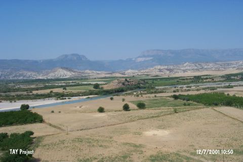 |
|
Type:
|
Mound |
|
Altitude:
|
250 m |
|
Region:
|
Mediterranean |
|
Province:
|
Mersin |
|
District:
|
Mut |
|
Village:
|
Mirahor |
|
Investigation Method:
|
Survey |
|
Period:
|
|
|
|
|
 |
|
| It lies in Dölek Mevkii; approximately 2 km southwest of Mirahor Village; southwest of Mut District of Mersin District. It is surrounded by rural areas and east of it flows the stream of Göksu. It was discovered by J. Mellaart and dated to EBA. The site name is Artatepe or Artepe in some publications. It takes place in the registered archaeological sites list prepared by Ministry of Culture and Tourism. It was visited during the survey conducted by T.E. Serifoglu in 2013. Chalcolithic wares found on the surface indicate that the mound was inhabited during that period as well. These potsherds share similarities with Can Hasan wares and Tarsus wares found in Çukurova. It is possible to suggest that Attepe is the earliest mound inhabited in Lower Göksu Valley [Serifoglu 2015:44]. In 2014, the geophysical scanning studies conducted on the western slope of the mound. As a result of this scanning study, rectangular planned structures determined just below the surface. These studies showed that the settlement does not expand to the center of the hill, contrary to what previously thought, but situates on the slope [Serifoglu 2016:267]. |
| Location: |
| Geography and Environment: |
| History: |
| Research and Excavation: |
| Stratigraphy: |
| Small Finds: |
| Remains: |
| Interpretation and Dating: |