|
©The Archaeological Settlements of Turkey - TAY Project
|
|
|
|
|
|
Siyalar |
|
|
For site maps and drawings please click on the picture...  |
For photographs please click on the photo... 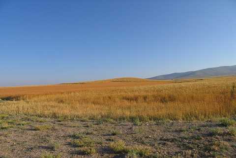 |
|
Type:
|
Mound |
|
Altitude:
|
1010 m |
|
Region:
|
Aegean |
|
Province:
|
Kütahya |
|
District:
|
Altintas |
|
Village:
|
Haydarlar |
|
Investigation Method:
|
Survey |
|
Period:
|
EBA I EBA II |
|
|
|
 |
|
| It lies 3 km east of Haydarlar Village; northwest of Altintas District; south of Kütahya Province. It is a flat mound measuring 4 m in height and 120 m in diameter. It was discovered in 1991 during a survey conducted by T. Efe in the region. It mainly contains materials of EBA II. Limited number of EBA material was recovered. It takes place in the registered archaeological sites list prepared by Ministry of Culture and Tourism. |
| Location: |
| Geography and Environment: |
| History: |
| Research and Excavation: |
| Stratigraphy: |
| Small Finds: |
| Remains: |
| Interpretation and Dating: |