|
©The Archaeological Settlements of Turkey - TAY Project
|
|
|
|
|
|
Sivritepe |
|
|
For site maps and drawings please click on the picture...  |
For photographs please click on the photo... 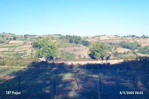 |
|
Type:
|
Mound |
|
Altitude:
|
155 m |
|
Region:
|
Black Sea |
|
Province:
|
Samsun |
|
District:
|
Alaçam |
|
Village:
|
Etyemez |
|
Investigation Method:
|
Survey |
|
Period:
|
|
|
|
|
 |
|
| It lies about 6 km southwest of Ikiztepe Höyügü; west of Samsun Province. The survey conducted by K. Kökten and N. & T. Özgüç in 1940-41 yielded EBA material of Central Anatolia. It is also suggested that settlements belonging to the Hittite; Roman and Byzantine Periods are present. It has been partially damaged due to illicit diggings. It takes place in the registered archaeological sites list prepared by Ministry of Culture and Tourism. The mound appears in the Samsun Culture Inventory which was achieved after the surveys organized by the Samsun Special Provincial Administration Directorship of Development and Construction in 2009.It covers an area of 110x130 m and its height ranges from 10 m to 20 m. The mound is surrounded by a city wall which is well preserved. The walls of the fortress cover an area of 30x60 m in width. The top of the mound which is surrounded by the fortress has been flattened during the construction of electric line and base station. |
| Location: |
| Geography and Environment: |
| History: |
| Research and Excavation: |
| Stratigraphy: |
| Small Finds: |
| Remains: |
| Interpretation and Dating: |