|
©The Archaeological Settlements of Turkey - TAY Project
|
|
|
|
|
|
Sirkeli |
|
|
For site maps and drawings please click on the picture...  |
For photographs please click on the photo... 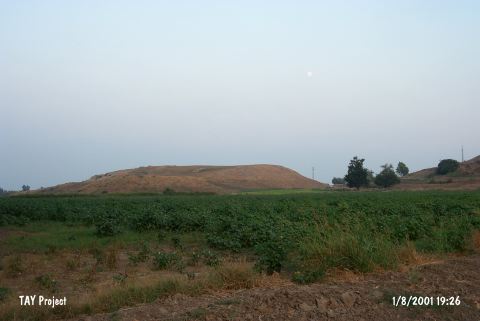 |
|
Type:
|
Mound |
|
Altitude:
|
80 m |
|
Region:
|
Mediterranean |
|
Province:
|
Adana |
|
District:
|
Ceyhan |
|
Village:
|
Sirkeli |
|
Investigation Method:
|
Excavation |
|
Period:
|
Middle |
|
|
|
 |
|
| The mound lies on the Ceyhan-Yakapinar highway; 5 km west of Ceyhan; east of Adana Province. North of the mound castle of Yilantepe takes place and east of it Ceyhan River flows. It is located at the intersection point of the roads between the mountain passes known as Bahçe; Feke; and Cilicia Gates. In 1936; J. Garstang has made soundings on this large mound and it has been further investigated in 1951 by M.V. Seton-Williams. Earlier well-known as only a 2nd Millennium BC and Late Hittite settlement; the mound has yielded finds revealing continuous settling from Chalcolithic Age up to the Roman Period. Coba ware sherds are strikingly abundant. It takes place in the registered archaeological sites list prepared by Ministry of Culture and Tourism. The 2011 excavation campaign yielded pottery dated to Chalcolithic. These pottery sherds represent the ware groups as follows: chaff-faced wares, Ubaid-like painted wares, dark faces burnished wares and coarse wares. Among these wares bowls, cooking and storage pots are common[Novak-Kozal 2013:416]. |
| Location: It is situated on ancient trade routes both in east-west and in south-north directions, in Sirkeli Village of Ceyhan 40 km east of Ceyhan District in Adana [Novak et al. 2009:297]. |
| Geography and Environment: Ceyhan River that runs through Sirkeli Village, ancient Bagdat railway, the modern motorway and Middle Age Yilan Fortress point out at the importance of the location of the mound [Novak et al. 2009:297]. |
| History: |
| Research and Excavation: |
| Stratigraphy: |
| Small Finds: |
| Remains: |
| Interpretation and Dating: |