|
©The Archaeological Settlements of Turkey - TAY Project
|
|
|
|
|
|
Siptoros |
|
|
For site maps and drawings please click on the picture...  |
For photographs please click on the photo... 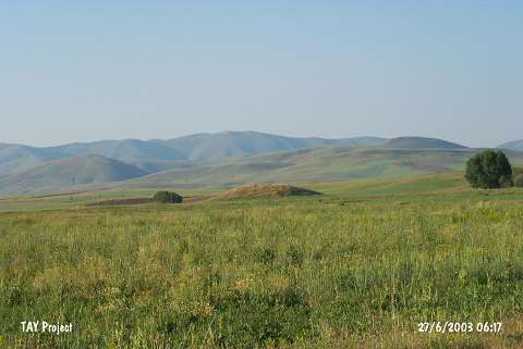 |
|
Type:
|
Mound |
|
Altitude:
|
1750 m |
|
Region:
|
Black Sea |
|
Province:
|
Bayburt |
|
District:
|
Merkez |
|
Village:
|
Oruçbeyli |
|
Investigation Method:
|
Survey |
|
Period:
|
|
|
|
|
 |
|
| It lies 3 km southeast of the village of Oruçbeyli (Siptoros) in the province of Bayburt. To the northwest flows the Haho stream and to the north passes the Köse-Bayburt motorway. The site was first discovered by K. Kökten and dated to the EBA. It takes place in the registered archaeological sites list prepared by Ministry of Culture and Tourism. |
| Location: |
| Geography and Environment: |
| History: |
| Research and Excavation: |
| Stratigraphy: |
| Small Finds: |
| Remains: |
| Interpretation and Dating: |