|
©The Archaeological Settlements of Turkey - TAY Project
|
|
|
|
|
|
Porsuk / Zeive Tepe |
|
|
For site maps and drawings please click on the picture... 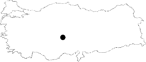 |
For photographs please click on the photo...  |
|
Type:
|
Mound |
|
Altitude:
|
1335 m |
|
Region:
|
Central Anatolia |
|
Province:
|
Nigde |
|
District:
|
Ulukisla |
|
Village:
|
Darbogaz |
|
Investigation Method:
|
Excavation |
|
Period:
|
|
|
|
|
 |
|
| It lies 3.8 km away from Darbogaz Village; southeast of Ulukisla District of Nigde Province. It was discovered by J. Mellaart and then revisited by D. French and presented as one of the EBA settlements of the region. The excavation project launched by O. Pelon in 1969 was carried out until 2001. After a short interlude, excavations started again under the directory of D.P. Beyer and were conducted until 2015 with several short breaks. Since 2017, C. Barat has been leading the excavations at Porsuk / Zeive Tepe. Excavations have yielded traces of Hittite; Old Iron Age and Roman Period settlements. The site is also known as Zeyve Höyük. |
| Location: It is situated on the motorway, 3.8 km from the Darbogaz Village, southeast of the Ulukisla District in Nigde. |
| Geography and Environment: |
| History: |
| Research and Excavation: |
| Stratigraphy: |
| Small Finds: |
| Remains: |
| Interpretation and Dating: |