|
©The Archaeological Settlements of Turkey - TAY Project
|
|
|
|
|
|
Sitma Tepe Mevkii |
|
|
For site maps and drawings please click on the picture...  |
For photographs please click on the photo... 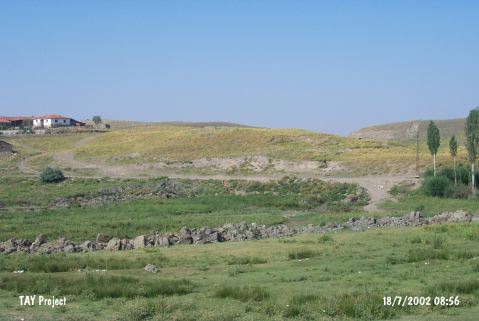 |
|
Type:
|
Flat Settlement |
|
Altitude:
|
595 m |
|
Region:
|
Central Anatolia |
|
Province:
|
Çorum |
|
District:
|
Ugurludag |
|
Village:
|
Ambarci |
|
Investigation Method:
|
Survey |
|
Period:
|
|
|
|
|
 |
|
| It lies west-northwest of the Atalogun Tepe; immediately north-northwest of Ambarci Village; west of Çorum Province. There is a fresh water spring called Isitmanin Çesmesi or Sitma Çesme nearby. It was discovered during the Survey of Çorum conducted under T. Sipahi and T. Yildirim in 1996. Sherds dating from the third millennium BC; the Iron Age and the Middle Age were collected from the surface. |
| Location: |
| Geography and Environment: |
| History: |
| Research and Excavation: |
| Stratigraphy: |
| Small Finds: |
| Remains: |
| Interpretation and Dating: |