|
©The Archaeological Settlements of Turkey - TAY Project
|
|
|
|
|
|
Sirtlanini Magarasi |
|
|
For site maps and drawings please click on the picture... 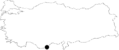 |
For photographs please click on the photo...  |
|
Type:
|
Cave |
|
Altitude:
|
160 m |
|
Region:
|
Mediterranean |
|
Province:
|
Mersin |
|
District:
|
Silifke |
|
Village:
|
Tasucu |
|
Investigation Method:
|
Survey |
|
Period:
|
ÜP |
|
|
|
 |
|
| Location: It is located in Fatih Street of Cumhuriyet Quarter of Tasucu Sub-district; 10.2 km away from Silifke Museum; near the Tasucu Harbor; southwest of both the town of Silifke and the city of Mersin. |
| Geography and Environment: The entrance of the cave; which is about 20-30 m above modern sea level; faces the Tasucu Bay on the Mediterranean Coast. |
| History: |
| Research and Excavation: Kiliç Kökten; who discovered the site in 1956 reports to have opened a test trench in the terraces within the cave in 1957. The excavations were not carefully conducted and the publication is incomplete. |
| Stratigraphy: |
| Small Finds: Kökten's excavation of these terraces yielded a flint point he assigned to the Upper Palaeolithic Period and other simple chipped stone tools. He also notes that he uncovered a blade used as a chopper as well as several bone implements. Neither the cave nor the tools it yielded are described in detail. |
| Remains: |
| Interpretation and Dating: |