|
©The Archaeological Settlements of Turkey - TAY Project
|
|
|
|
|
|
Sindirgi |
|
|
For site maps and drawings please click on the picture...  |
For photographs please click on the photo... 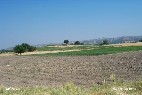 |
|
Type:
|
Mound |
|
Altitude:
|
245 m |
|
Region:
|
Marmara |
|
Province:
|
Balikesir |
|
District:
|
Sindirgi |
|
Village:
|
Merkez |
|
Investigation Method:
|
Survey |
|
Period:
|
Late |
|
|
|
 |
|
| The site lies south of Balikesir; in Sindirgi District. It is located in the Kunduran Mevkii of Kurtulus Mahallesi. The mound is locally known as Üveyiktepe Höyüktepe. It is in a plain area and to the northwest flows the Simav stream. Mellaart considers this site among the Late Chalcolithic settlements in Southwestern Anatolia. |
| Location: |
| Geography and Environment: |
| History: |
| Research and Excavation: |
| Stratigraphy: |
| Small Finds: |
| Remains: |
| Interpretation and Dating: |