|
©The Archaeological Settlements of Turkey - TAY Project
|
|
|
|
|
|
Serçe Höyük |
|
|
For site maps and drawings please click on the picture...  |
For photographs please click on the photo... 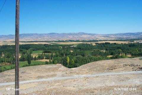 |
|
Type:
|
Mound |
|
Altitude:
|
800 m |
|
Region:
|
Black Sea |
|
Province:
|
Çorum |
|
District:
|
Merkez |
|
Village:
|
Altinbas |
|
Investigation Method:
|
Survey |
|
Period:
|
|
|
|
|
 |
|
| It lies 1.3 km northeast of the Altinbas Village; about 8 km west of Çorum Province. It is an oval mound. It measures 10-15 m in height and 250-300 m in diameter. It is indicated as Serçe Tepe in the map. Traces of severe damage are visible on the surface. The surface collection carried out by T. Sipahi and T. Yildirim in 1996 yielded pottery of the third and second millennia BC; the Iron Age and the Hellenistic Period. The mound and its surrounding territory are being heavily cultivated. |
| Location: |
| Geography and Environment: |
| History: |
| Research and Excavation: |
| Stratigraphy: |
| Small Finds: |
| Remains: |
| Interpretation and Dating: |