|
©The Archaeological Settlements of Turkey - TAY Project
|
|
|
|
|
|
Satala Çevresi |
|
|
For site maps and drawings please click on the picture...  |
For photographs please click on the photo... 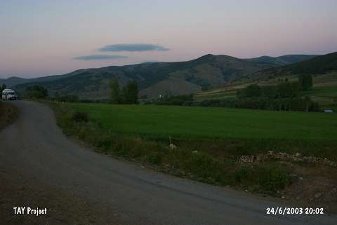 |
|
Type:
|
Flat Settlement |
|
Altitude:
|
1720 m |
|
Region:
|
Black Sea |
|
Province:
|
Gümüshane |
|
District:
|
Kelkit |
|
Village:
|
Satala |
|
Investigation Method:
|
Survey |
|
Period:
|
|
|
|
|
 |
|
| It is located 5.5 km southeast of Satala-Kelkit road; 500 m south of the village of Satala in the district of Kelkit; province of Gümüshane. S. Lightfoot who conducted a survey in the ancient city of Satala in 1990 yielded sherds of the handmade; burnished ware as well as obsidian plates; blades and cutter in a field belonging to T. Sahin. It covers an area of 35x18 m to south of the village where the ancient city is located. Finds recovered from the surface expose the presence of an EBA settlement around Satala [Lightfoot 1992:291; pic.5]. |
| Location: |
| Geography and Environment: |
| History: |
| Research and Excavation: |
| Stratigraphy: |
| Small Finds: |
| Remains: |
| Interpretation and Dating: |