|
©The Archaeological Settlements of Turkey - TAY Project
|
|
|
|
|
|
Asagi Keferzo |
|
|
For site maps and drawings please click on the picture...  |
For photographs please click on the photo... 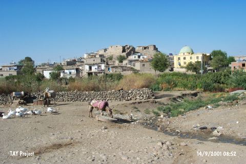 |
|
Type:
|
Mound |
|
Altitude:
|
730 m |
|
Region:
|
Southeastern Anatolia |
|
Province:
|
Batman |
|
District:
|
Merkez |
|
Village:
|
Yenipinar |
|
Investigation Method:
|
Survey |
|
Period:
|
Early |
|
|
|
 |
|
| The mound lies 17 km east-southeast of Batman. It is located in Yenipinar village (Asagi Keferzo); which is in the center of Batman Plain. The mound is 20 m height; 75 m in diameter; and it is surrounded by the modern village. Çukurdere runs southern part of the mound. There are many fresh water springs around the site. The mound was discovered during the Southeastern Anatolia Survey in 1963. Potsherds dating back to the Ubaid and Uruk Periods were collected. The location code is S 62 / 5. |
| Location: |
| Geography and Environment: |
| History: |
| Research and Excavation: |
| Stratigraphy: |
| Small Finds: |
| Remains: |
| Interpretation and Dating: |