|
©The Archaeological Settlements of Turkey - TAY Project
|
|
|
|
|
|
Sariyatak - Köyceviran |
|
|
For site maps and drawings please click on the picture... 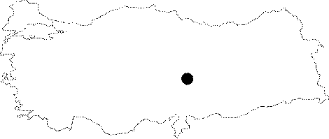 |
For photographs please click on the photo...  |
|
Type:
|
Single Findspot |
|
Altitude:
|
m |
|
Region:
|
Eastern Anatolia |
|
Province:
|
Kahramanmaras |
|
District:
|
Elbistan |
|
Village:
|
Sariyatak |
|
Investigation Method:
|
Survey |
|
Period:
|
ÜP |
|
|
|
 |
|
| Location: This site is north of the city of Kahramanmaras; 27 km north of the town of Elbistan; between the villages of Sariyatak (22 km north of Elbistan) and Köyceviran (also called Gökçek) in the southern fringes of Mount Tude. The distance between the two villages is approximately 6 km; as the crow flies; making it difficult to specify the exact location of the site. Some archaeological publications refer to this site as Elbistan. |
| Geography and Environment: It is presumed that the ecological characteristics of the Maras Region were suitable for human habitation in the Palaeolithic Period. Further research conducted in this area will help in understanding the Palaeolithic of Turkey. |
| History: |
| Research and Excavation: Although the finds from this site are described by I. K. Kökten; it is not specified whether he discovered the site. Kökten does not refer to this site in his other publications. |
| Stratigraphy: |
| Small Finds: The only published artifact is a fragment of an Aurignacien blade assigned to the Upper Palaeolithic. The tool is made of dark grey flint and has worn edges. The blade was retouched after it broke and was then reused as a scraper. The cross section of the tool is triangular [Kökten 1960:48; fig. VIII-1]. |
| Remains: |
| Interpretation and Dating: |