|
©The Archaeological Settlements of Turkey - TAY Project
|
|
|
|
|
|
Sarioglan / Belören |
|
|
For site maps and drawings please click on the picture...  |
For photographs please click on the photo... 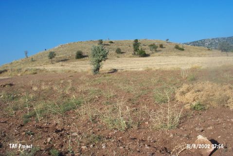 |
|
Type:
|
Mound |
|
Altitude:
|
1389 m |
|
Region:
|
Central Anatolia |
|
Province:
|
Konya |
|
District:
|
Bozkir |
|
Village:
|
Sarioglan |
|
Investigation Method:
|
Survey |
|
Period:
|
|
|
|
|
 |
|
| It lies 1.5 km southeast of Sarioglan Sub-District; east of Bozkir District; about 80 km south of Konya Province. Immediate west of the mound passes Sarioglan-Hadim motorway. It is referred as Sarioglan by D.H. French. It was discovered as the ancient city of Delisandos. Pottery dating from the third millennium BC and the second millennium BC was recovered. The survey conducted by H. Bahar in 1992 yielded pottery dating from the Iron Age. It was researched within the scope of "Konya-Karaman Provinces and Districts Surveys" by H. Bahar et al. in 2005. Sarioglan Höyük (Belviran) is located 1.4 km southwest of Belören; and 25.1 km north of Hadim; 47.1 km southwest of Çumra; at an important intersection of the Belören Kasabasi; Konya; Bozkir; Hadim; Güneysinir highways. According to Bahar the mound is especially significant for the relation of Central Anatolia; Medditeranean; and Western Anatolia due to the presence of MBA; LBA; EIA; MIA; Hellenistic; and Roman periods in addition to EBA. Flintstone tools were revealed in the mound as well [Bahar 2007:486]. |
| Location: |
| Geography and Environment: |
| History: |
| Research and Excavation: |
| Stratigraphy: |
| Small Finds: |
| Remains: |
| Interpretation and Dating: |