|
©The Archaeological Settlements of Turkey - TAY Project
|
|
|
|
|
|
Saglar Höyük |
|
|
For site maps and drawings please click on the picture...  |
For photographs please click on the photo... 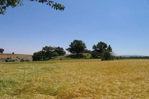 |
|
Type:
|
Mound |
|
Altitude:
|
1120 m |
|
Region:
|
Aegean |
|
Province:
|
Kütahya |
|
District:
|
Altintas |
|
Village:
|
Terziler |
|
Investigation Method:
|
Survey |
|
Period:
|
EBA I EBA II |
|
|
|
 |
|
| It lies northwest of Terziler Village of Altintas District; 2.8 km south-southeast of Bezirgan Village; southeast of Kütahya Province. The village of Saglar to the west-northwest of which the mound was named after has been abandoned and the settlement is located in the border of Terziler and Bezirgan villages. It is surrounded by fields and Oluk Stream flows behind the rockies to the east. It measures 10 m in height and 90 m in diameter. It is obscured by the cemetery of the village. It was discovered in 1991 during a survey conducted by T. Efe in the region. Materials of the EBA I; II and the first millennium BC were collected from the surface. |
| Location: |
| Geography and Environment: |
| History: |
| Research and Excavation: |
| Stratigraphy: |
| Small Finds: |
| Remains: |
| Interpretation and Dating: |